chieusang.my
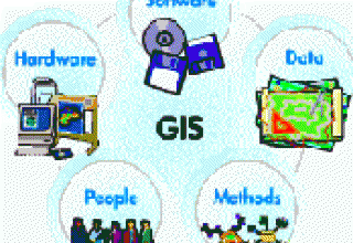
Summary about GIS
- 29/05/2015 10:28:00 AM
- Viewed: 8592
- Feedback: 0
WHAT IS GIS ? Geographical Information System- GIS is a computer tool to create map and analyze things, phenomenon on the world. GIS technology combines typical database operations (as inquiry structure) and statistical analysis, geographical analysis, among them geographic analysis and image is provided only from maps.

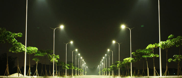
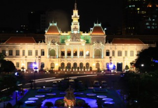
Application of Science and Technology in the management of advanced lighting systems urban Ho Chi Minh City
- 29/05/2015 10:26:00 AM
- Viewed: 4458
- Feedback: 0
Ho Chi Minh City with particular is the most populous city in Vietnam, is the center of politics, economy, culture, science and technology, tourism services ..., the city was the attention of the investors at home and abroad to have a lighting system commensurate with technical requirements, management, economics poses as modern and advanced, accurate, fast, stable, safe and efficient .
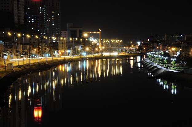
Enhancing the art in public lighting system HCM City
- 29/05/2015 10:22:00 AM
- Viewed: 5518
- Feedback: 0
Lighting function but to ensure comfortable conditions for labor, facilities of human activities enhance the aesthetic value of buildings, for the arts and cultural activities have to save energy and environmental protection. So improving the aesthetics of public lighting system is very necessary for a developing urban area in the current period.

- Online15
- Search engine2
- Guest13
- Today623
- This month124,005
- Total20,148,410
| STT | Tuyến đường, địa bàn do đơn vị quản lý | Thời gian tắt mở hiện đang áp dụng | |
|---|---|---|---|
| Mở đèn | Tắt đèn | ||
| 1 | Quốc lộ 1 | 17:30 | 05:30 |
| 2 | Xa lộ Hà Nội | 17:30 | 05:30 |
| 3 | Đường Võ Văn Kiệt | 17:30 | 05:30 |
| 4 | Đường Mai Chí Thọ | 17:30 | 05:30 |
| 5 | Quốc lộ 22 | 17:30 | 05:30 |
| 5 | Đường Phạm Văn Đồng | 17:30 | 05:30 |
| 5 | Công viên | 17:30 | 05:30 |
| 6 | Khu QLGTĐT số 1 | 17:35 | 05:30 |
| 7 | Khu QLGTĐT số 2 | 17:35 | 05:30 |
| 8 | Khu QLGTĐT số 3 | 17:35 | 05:30 |
| 9 | Khu QLGTĐT số 4 | 17:35 | 05:30 |